Drawings and maps
The Drawings tab gathers the project's PDF drawings and geographic maps. This is where you record tasks, at the exact spot of the problem.
Drawings and maps are added from the web app: see Drawings and maps.
Browse the folders
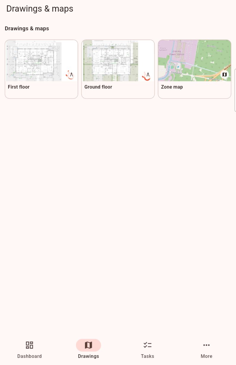
- Folders appear first. Tap a folder to open it.
- Thumbnails follow, in alphabetical order. A small badge in the corner shows whether it is a drawing or a map .
- The breadcrumb under the title shows where you are. Tap Drawings & maps or a parent folder to go back up.
Go up one folder
Use the breadcrumb, on iPhone, iPad and Android alike. On Android, the Back key does not go up one folder: it returns to the dashboard.
View a drawing or a map
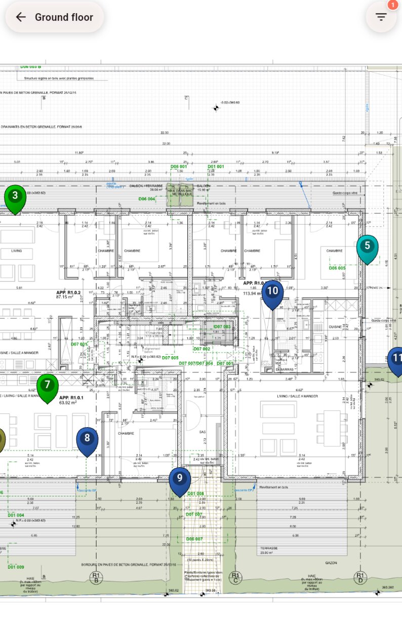
Tap a thumbnail to open the drawing or map full screen. Tasks appear on it as pins.
| Gesture | Effect |
|---|---|
| Pinch, spread | Zoom out, zoom in. |
| Drag | Move around. |
| Double-tap | Zoom in on that spot. |
| Tap a pin | Open the task details. |
| Long press on an empty spot | Create a task at that spot. |
| Long press on a pin | Move or duplicate the task. |
At the top of the screen:
- the button with the drawing's name goes back to the list;
- the button opens the filters. Each drawing and each map has its own filters, set by default to open tasks. An orange badge shows the number of active filters.
Pins
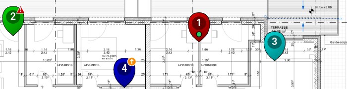
- The pin's colour is the assignee's, chosen in members.
- The task number is written in the pin. It stays grey until the task has been sent to the server.
- A small dot shows the status: green for Resolved, dark for Closed, no dot for Open.
- Depending on your settings, a badge marks high priorities: an orange circle with an arrow for High, a red triangle for Critical.
Drawings and maps offline
Drawings are downloaded to the device: they stay available without a network.
Maps need the network to show the base map. Offline, only the areas already displayed stay visible.